Screenshots


Icon palette
About this app
2GIS makes life in the city more comfortable! Map, navigator, public transport, guidebook and directory – all one icon away in your phone. It will show your location, find a required address, help you to plot your route by car, bus, bicycle or by foot. And then you can see your friends right on the map in 2GIS! The app is free and it works both online and offline – just download the required city or even a region and use maps without Internet connection. GPS navigation. Get ready to see precisely depicted roads with tunnels and multi-level junctions in 3D. 2GIS will build an optimal route providing for traffic jam, road accidents and roads under construction. It will show your speed so that you don’t have to glance at speed meter too often. It will give you a warning of speed and other cameras ahead so that you can avoid getting a ticket. It will show you the nearest parking lots. The…
App details
What you can learn from 2GIS: Map, Navigation, Tracker
Every shipping app on the App Store has gone through the same decisions you're working through right now: which screenshot goes first, what caption sits over it, which device frame to show, what color the background should be. The 6 screenshots above are 2GIS: Map, Navigation, Tracker's answers to those questions — they're public, they're real, and they made it through Apple's review.
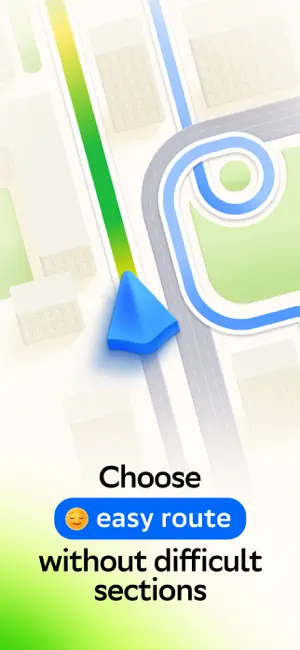
Notice the first screenshot in particular. It's the one users see in search results and on the product page, and it's where most apps spend their best caption and tightest design. Look at the proportion of background to phone, where the text sits, what one thing the image is trying to communicate.
Want to see how other Navigation apps approach the same problem? Browse more Navigation apps in the showcase.
Take what works into your own screenshots
Open LaunchShots and design your App Store & Google Play screenshots — pick a device frame, drop captions, ship in minutes. Free, in your browser.
Open the screenshot editor →