Screenshot style breakdown
Sampled from 6 of AR地形模型's App Store screenshots — background, accent and theme, measured by LaunchShots (not something Apple publishes).
#FCBC5C bg
#DDA550
#DC7404 accent
#111111 text
Screenshots

iPad screenshots
Icon palette
About this app
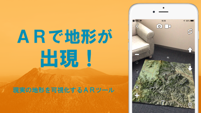
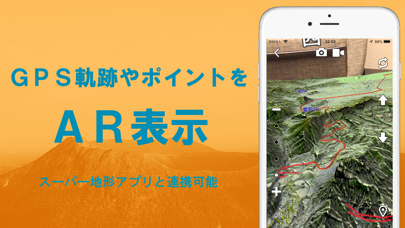
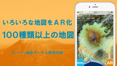
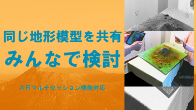
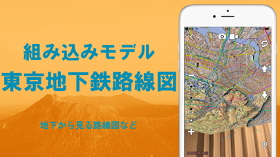
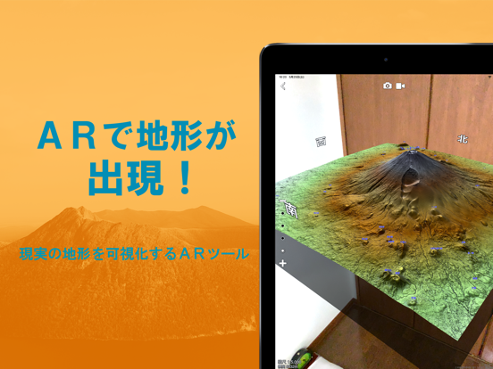
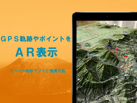
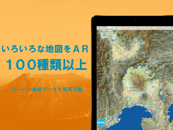
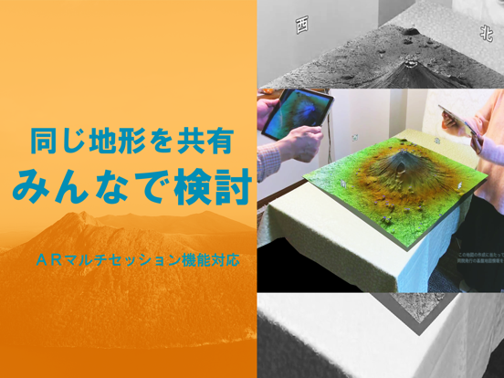
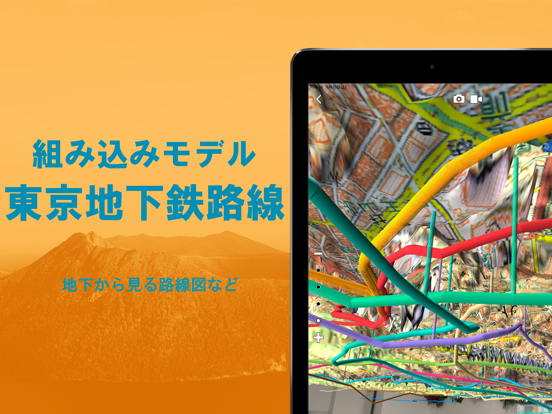
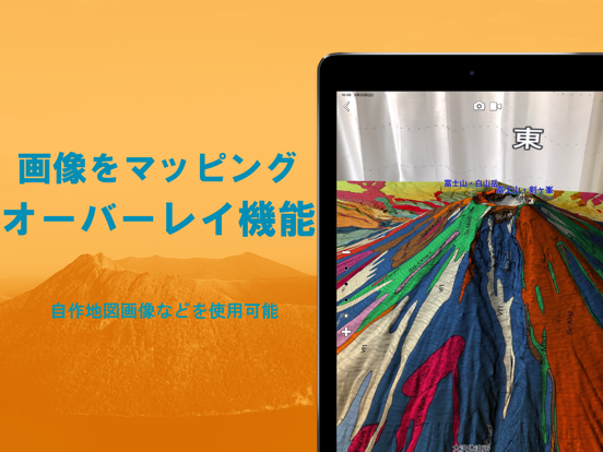
AR機能でいろいろな地図を3D地形模型として見れます。旧名:AR立体地図、地図カメラAR ●スーパー地形データが使えます。 ●国土地理院のほとんどの地図を網羅しているほか、各種の地図が使用できます。 ●AR機能を搭載。高精細地形データで地形を再現し、すべての地図を3D表示。目の前に立体地図を表示し、自由に眺められます。 ●複数のスマホで、同じ地形とモデルを見ることができます。あたかも実際に机の上に地形模型が置かれているものを、みんなで見ている感じになります。 ●『東京地下鉄全路線図』のほか、GPSのトラックデータやポイントを模型の上に表示できます。 ●GPS機能で現在位置を表示可能です。 ●静止画と動画の撮影機能を搭載。 ●ピープルオクルージョンが可能。iOS13以降でA12以降のチップ搭載機種。 ●建物も表示できます。 ●iOS14ウィジットに対応しています。 ◆◆◆ 不具合等については、サポートページを開き、下の方のお問い合わせボタンより、ご連絡ください。 ◆◆◆ iPad/iPodのWiFiモデルなど一部の機種ではGPSを搭載していないため、正確な位置情…
App details
What you can learn from AR地形模型
Every shipping app on the App Store has gone through the same decisions you're working through right now: which screenshot goes first, what caption sits over it, which device frame to show, what color the background should be. The 12 screenshots above are AR地形模型's answers to those questions — they're public, they're real, and they made it through Apple's review.
What the numbers say: AR地形模型 runs a light set with one background colour (#FCBC5C) carried across every screenshot — the listing reads as a single poster when the shots sit side by side in search results. The accent colour we picked up, #DC7404, is the one to reuse for badges, arrows and highlighted words if you borrow this look. Hit Use this style to open the editor with these exact colours and drop your own screenshot in.
Notice the first screenshot in particular. It's the one users see in search results and on the product page, and it's where most apps spend their best caption and tightest design. Look at the proportion of background to phone, where the text sits, what one thing the image is trying to communicate.
Want to see how other Navigation apps approach the same problem? Browse more Navigation apps in the showcase.
Take what works into your own screenshots
Open LaunchShots and design your App Store & Google Play screenshots — pick a device frame, drop captions, ship in minutes. Free, in your browser.
Open the screenshot editor →Apps with a similar look
Closest background + accent colours among the listings we've analysed — useful when you want to see the same palette handled by a different team.