Screenshot style breakdown
Sampled from 6 of 富士山 - 富士登山に役立つ地図アプリ's App Store screenshots — background, accent and theme, measured by LaunchShots (not something Apple publishes).
#246CB4 bg
#4280BE
#7CA4D4 accent
#FFFFFF text
Screenshots




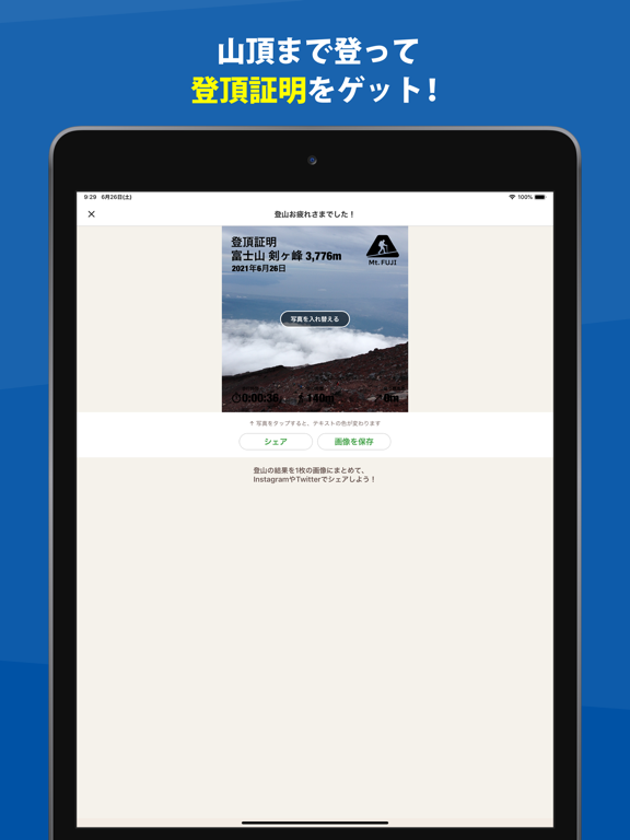
iPad screenshots
Icon palette
About this app
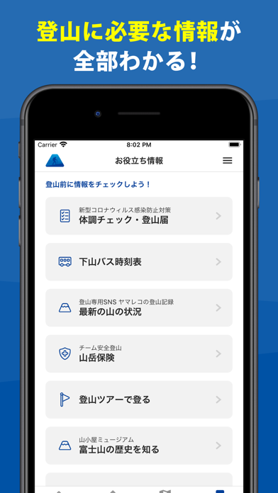
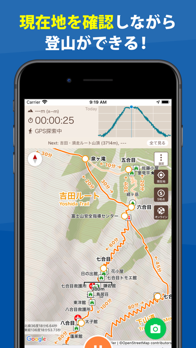
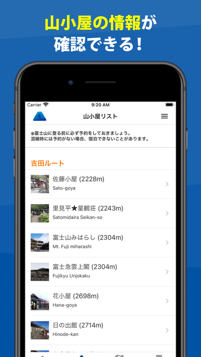
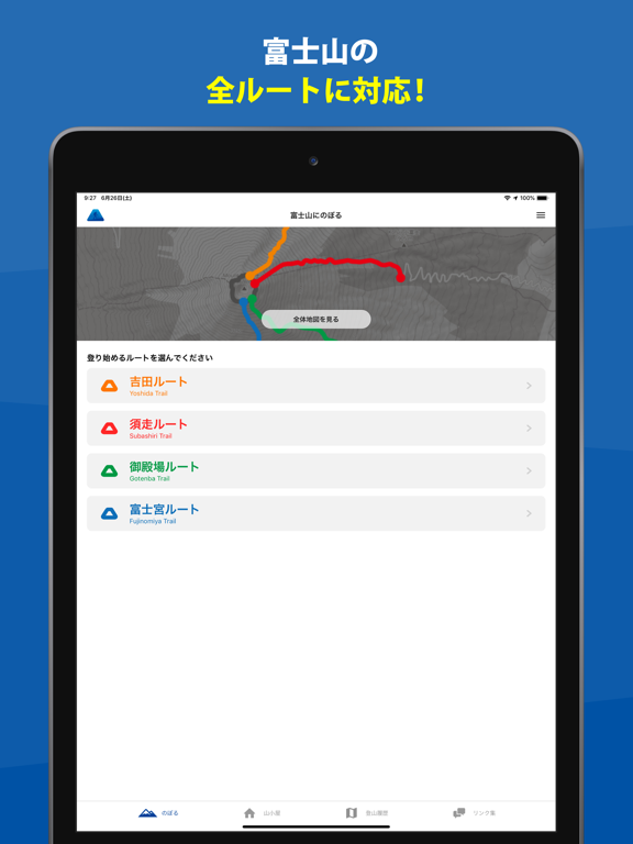
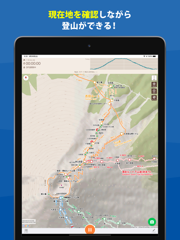
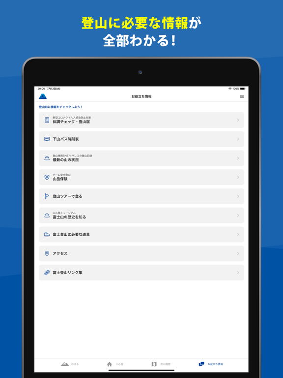
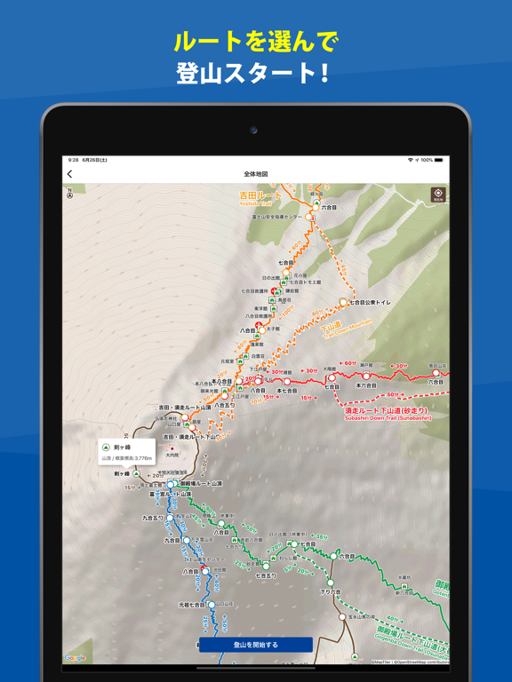
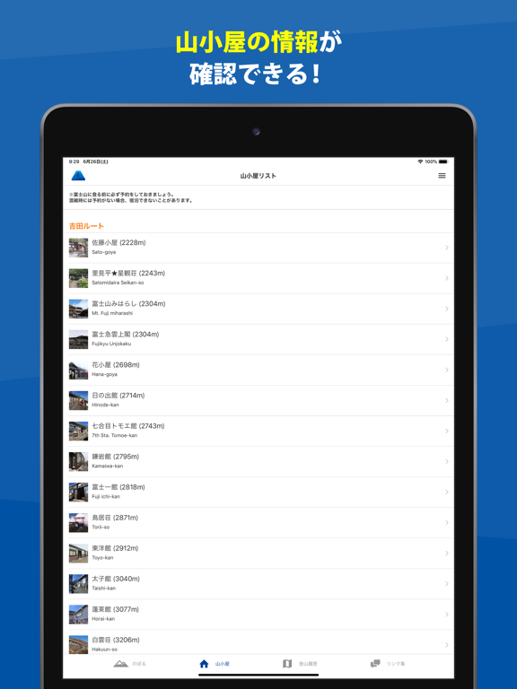
富士山アプリは、登山・アウトドア用GPSとして使える登山地図アプリケーションです。 富士登山で使える地図やルート、地名などのデータを活用し、携帯電話の電波が届かない山の中でもGPSで現在地を確認できます。 【特徴】 1)オフラインで登山地図が使える 富士山の登山地図をオフラインで利用できます。 ネットに繋がっていない山の中でもGPS衛星からの電波を使って現在地を特定し、地図を表示できます。 2)準備も簡単 一般的な富士登山で登られる「吉田ルート」「須走ルート」「御殿場ルート」「富士宮ルート」の4つのルートから、自分の登るルートを選ぶだけで登山を開始できます。 3)山小屋の情報もわかる 富士山で宿泊できるすべての山小屋の情報が入っており、自分の歩くルートにある山小屋に電話やWebサイトを通じて予約もできます。 4)登山で歩いた軌跡が残せる 登山を開始すると、GPSで歩いた軌跡(GPSログ)を残すことができます。 機内モードにしていても、圏外でも、空が開けていれば衛星の電波を使ってGPSログを残せます。 富…
App details
What you can learn from 富士山 - 富士登山に役立つ地図アプリ
Every shipping app on the App Store has gone through the same decisions you're working through right now: which screenshot goes first, what caption sits over it, which device frame to show, what color the background should be. The 13 screenshots above are 富士山 - 富士登山に役立つ地図アプリ's answers to those questions — they're public, they're real, and they made it through Apple's review.
What the numbers say: 富士山 - 富士登山に役立つ地図アプリ runs a dark set with one background colour (#246CB4) carried across every screenshot — the listing reads as a single poster when the shots sit side by side in search results. The accent colour we picked up, #7CA4D4, is the one to reuse for badges, arrows and highlighted words if you borrow this look. Hit Use this style to open the editor with these exact colours and drop your own screenshot in.
Notice the first screenshot in particular. It's the one users see in search results and on the product page, and it's where most apps spend their best caption and tightest design. Look at the proportion of background to phone, where the text sits, what one thing the image is trying to communicate.
Want to see how other Navigation apps approach the same problem? Browse more Navigation apps in the showcase.
Take what works into your own screenshots
Open LaunchShots and design your App Store & Google Play screenshots — pick a device frame, drop captions, ship in minutes. Free, in your browser.
Open the screenshot editor →Apps with a similar look
Closest background + accent colours among the listings we've analysed — useful when you want to see the same palette handled by a different team.