Screenshots
iPad screenshots


Icon palette
About this app
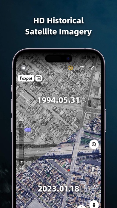
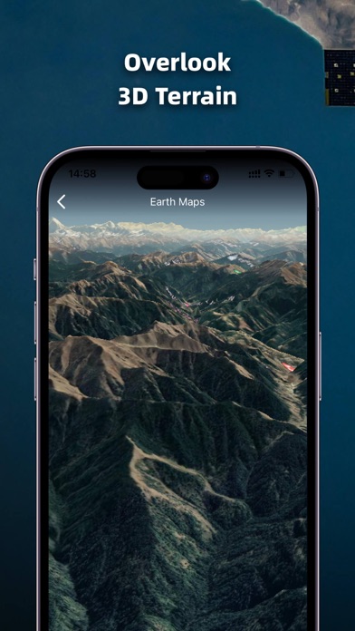
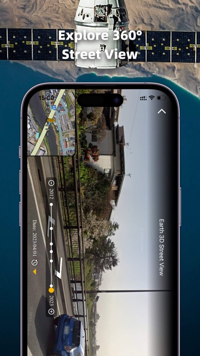
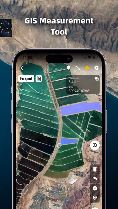
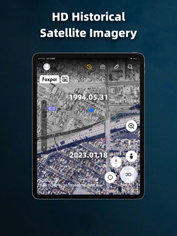
1. High-definition 3D globe 2. Load map tile data 3. Oriental compass function 4.historical street view 5.Measuring area distance 6.latest satellite imagery World Satellite Map allows you to view any place on Earth using photos taken from satellites. The advantage of the world satellite map over other maps is that the satellite map allows you to consider the surface terrain, forests, rivers, lakes, buildings, roads in sufficient detail with a high degree of detail. With satellite maps, you can travel the world online without leaving your phone. From world satellite map.
App details
What you can learn from Earth Maps
Every shipping app on the App Store has gone through the same decisions you're working through right now: which screenshot goes first, what caption sits over it, which device frame to show, what color the background should be. The 8 screenshots above are Earth Maps's answers to those questions — they're public, they're real, and they made it through Apple's review.
Notice the first screenshot in particular. It's the one users see in search results and on the product page, and it's where most apps spend their best caption and tightest design. Look at the proportion of background to phone, where the text sits, what one thing the image is trying to communicate.
Want to see how other Navigation apps approach the same problem? Browse more Navigation apps in the showcase.
Take what works into your own screenshots
Open LaunchShots and design your App Store & Google Play screenshots — pick a device frame, drop captions, ship in minutes. Free, in your browser.
Open the screenshot editor →