Screenshots


iPad screenshots


Icon palette
About this app
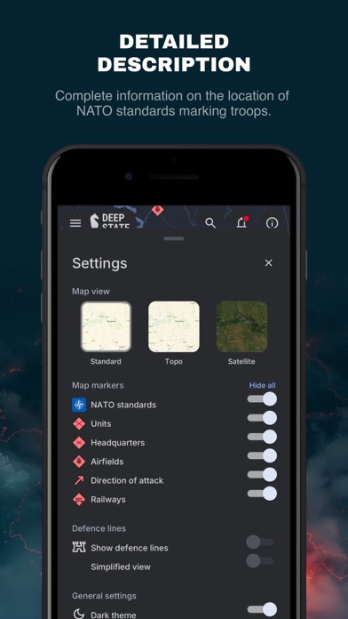
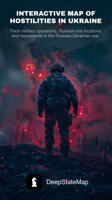
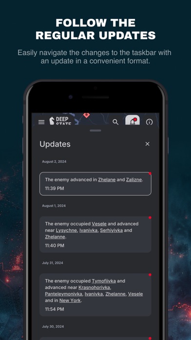
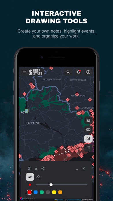
DeepStateMap.Live is an interactive online map of the hostilities in Ukraine that allows you to follow the course of military operations in the Russian-Ukrainian war, the location of units and their movements. The application supports the possibility of caching downloaded data. The map has symbols: territory of Ukraine liberated from occupation in the last two weeks; liberated territory; territory that needs to be clarified; territory occupied by Russian troops; territory of the occupied Crimea and ORDLO; territory of Transnistria; unit; headquarters; airfields; fleet; directions of attacks. The territory is divided into zones, which are colored accordingly, and the locations of units and airfields are marked. The site also has a news feed and the ability to measure distances between points on the map. The site allows to enable the display of fire points based on data from the NASA F…
App details
What you can learn from DeepStateMap
Every shipping app on the App Store has gone through the same decisions you're working through right now: which screenshot goes first, what caption sits over it, which device frame to show, what color the background should be. The 12 screenshots above are DeepStateMap's answers to those questions — they're public, they're real, and they made it through Apple's review.
Notice the first screenshot in particular. It's the one users see in search results and on the product page, and it's where most apps spend their best caption and tightest design. Look at the proportion of background to phone, where the text sits, what one thing the image is trying to communicate.
Want to see how other News apps approach the same problem? Browse more News apps in the showcase.
Take what works into your own screenshots
Open LaunchShots and design your App Store & Google Play screenshots — pick a device frame, drop captions, ship in minutes. Free, in your browser.
Open the screenshot editor →