Screenshots
Icon palette
About this app
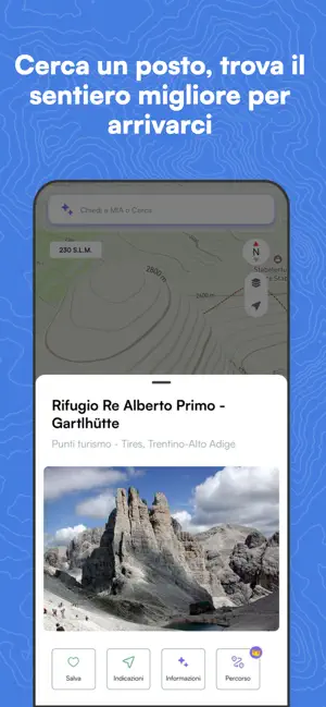
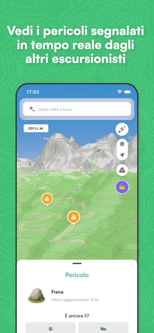
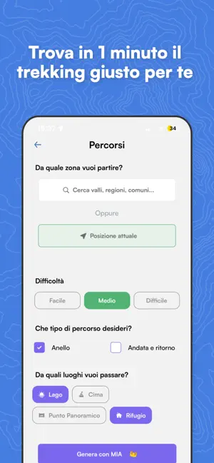
Mountain Maps è l’app per esplorare la montagna in sicurezza, in ogni stagione. Pensata per chi ama camminare in montagna, ti aiuta a scoprire, pianificare, navigare e analizzare ogni itinerario con dati su terreno, pendenza e condizioni del percorso. —————— COSA PUOI FARE CON MOUNTAIN MAPS —————— Posso scegliere una meta e farmi proporre il sentiero? Sì. Indichi il posto che vuoi raggiungere (un lago, un rifugio, una vetta) e Mountain Maps ti propone subito il percorso migliore per arrivarci. Posso sapere se ci sono imprevisti lungo il sentiero? Sì, in tempo reale. Con la funzione Pericoli sul sentiero vedi le segnalazioni lasciate dagli altri escursionisti, come ostacoli, frane, tratti esposti, sentieri chiusi. E quando incontri qualcosa, bastano pochi tap per avvisare chi cammina dopo di te. Posso pianificare un percorso trekking da punto A a punto B? Sì. Puoi creare un itine…
App details
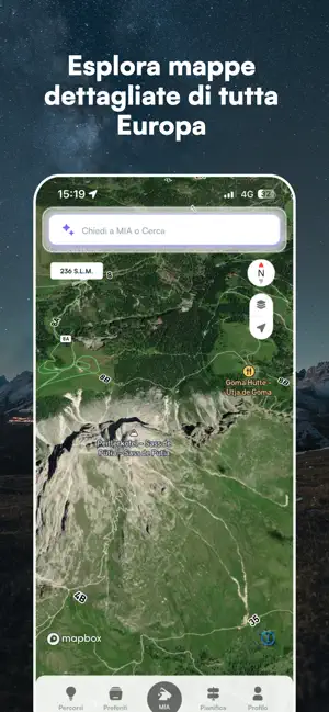
What you can learn from Mountain Maps: Trekking
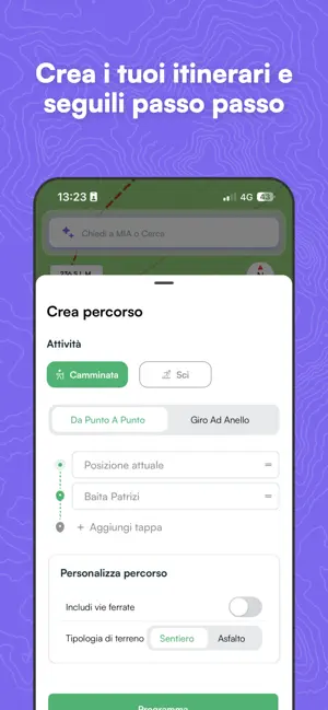
Every shipping app on the App Store has gone through the same decisions you're working through right now: which screenshot goes first, what caption sits over it, which device frame to show, what color the background should be. The 6 screenshots above are Mountain Maps: Trekking's answers to those questions — they're public, they're real, and they made it through Apple's review.
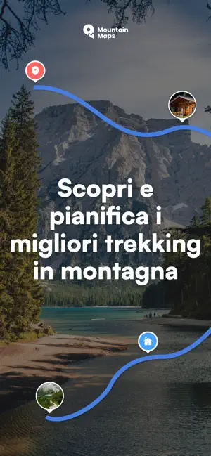
Notice the first screenshot in particular. It's the one users see in search results and on the product page, and it's where most apps spend their best caption and tightest design. Look at the proportion of background to phone, where the text sits, what one thing the image is trying to communicate.
Want to see how other Navigation apps approach the same problem? Browse more Navigation apps in the showcase.
Take what works into your own screenshots
Open LaunchShots and design your App Store & Google Play screenshots — pick a device frame, drop captions, ship in minutes. Free, in your browser.
Open the screenshot editor →