Screenshots
Icon palette
About this app
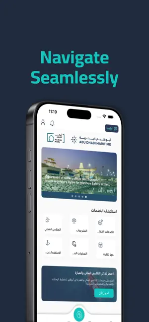
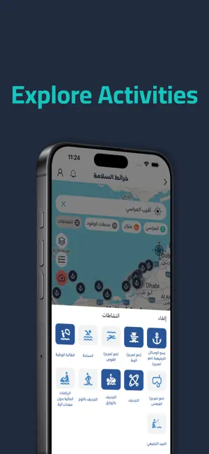
Al Nalia is an intuitive and interactive map application that allows public maritime users as well as Mariners to quickly view the Maritime zoning areas in and around the Abu Dhabi Emirate. The app allows users to quickly filter the locations on a map where Public can carry out activities such as Swimming, Boating, Leisure fishing, Kayaking, Jet-skiing, Snorkelling and other activities in the Abu Dhabi waters. The app also provides rich information guidance related to pass through areas, restricted areas, anchorage areas, speed limits, fishing areas, marine protected areas, marine routes, facility locations such as fuel stations, slipways and much more. We believe this will become your travel companion to explore the wonderful and hidden treasures in the sea waters of UAE.
App details
What you can learn from Al Nalia
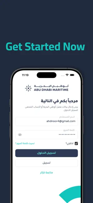
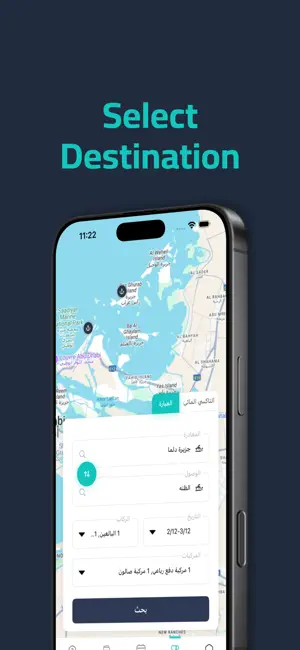
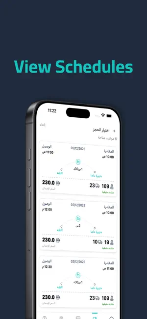
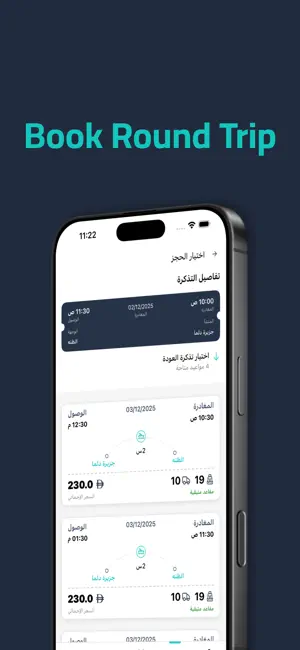
Every shipping app on the App Store has gone through the same decisions you're working through right now: which screenshot goes first, what caption sits over it, which device frame to show, what color the background should be. The 6 screenshots above are Al Nalia's answers to those questions — they're public, they're real, and they made it through Apple's review.
Notice the first screenshot in particular. It's the one users see in search results and on the product page, and it's where most apps spend their best caption and tightest design. Look at the proportion of background to phone, where the text sits, what one thing the image is trying to communicate.
Want to see how other Navigation apps approach the same problem? Browse more Navigation apps in the showcase.
Take what works into your own screenshots
Open LaunchShots and design your App Store & Google Play screenshots — pick a device frame, drop captions, ship in minutes. Free, in your browser.
Open the screenshot editor →