Screenshots

Icon palette
About this app
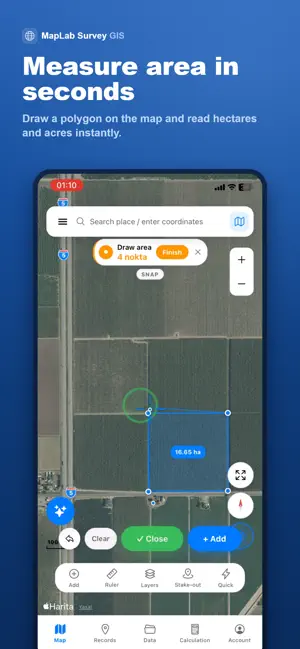
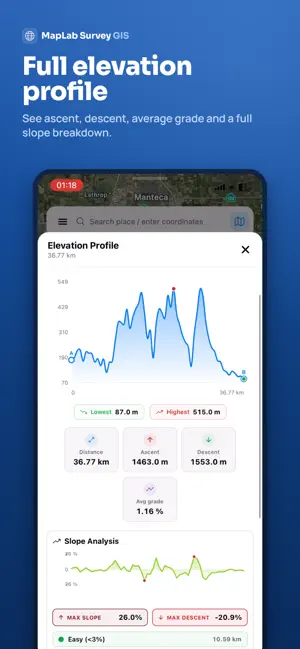
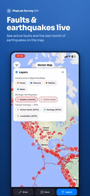
MapLab Survey is a powerful GIS and land measurement app built for real-world field work. Draw points, lines and polygons on the map, measure area and distance with precision, generate elevation profiles and cut/fill volume calculations from SRTM DEM, work with global coordinate systems such as WGS84, UTM, ED50 and TUREF, import KML, KMZ, DXF and GeoJSON files, and generate professional reports in one app. Measure land, calculate distance, manage GIS data and perform coordinate conversion in a fast and simple workflow designed for real field conditions. Works fully offline. Available in 46 languages. MAPS AND DRAWING • Draw points, lines and polygons on the map • Quickly add and edit vertices with smooth snapping • 5 metre auto snap for accurate drawing • Undo and redo support • Unlimited layers and project management • GPS track recording • Buffer zones around feature…
App details
What you can learn from MapLab Survey – GIS Measure
Every shipping app on the App Store has gone through the same decisions you're working through right now: which screenshot goes first, what caption sits over it, which device frame to show, what color the background should be. The 4 screenshots above are MapLab Survey – GIS Measure's answers to those questions — they're public, they're real, and they made it through Apple's review.
Notice the first screenshot in particular. It's the one users see in search results and on the product page, and it's where most apps spend their best caption and tightest design. Look at the proportion of background to phone, where the text sits, what one thing the image is trying to communicate.
Want to see how other Navigation apps approach the same problem? Browse more Navigation apps in the showcase.
Take what works into your own screenshots
Open LaunchShots and design your App Store & Google Play screenshots — pick a device frame, drop captions, ship in minutes. Free, in your browser.
Open the screenshot editor →