Screenshots
Icon palette
About this app
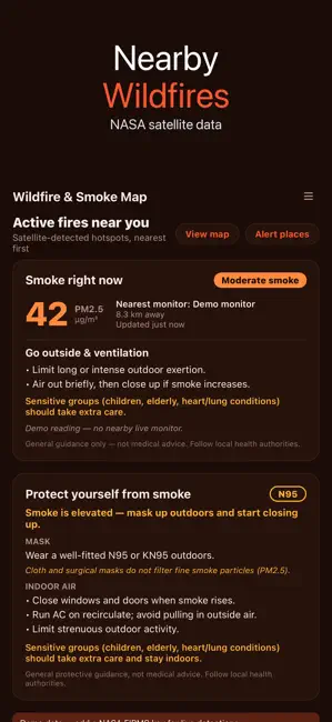
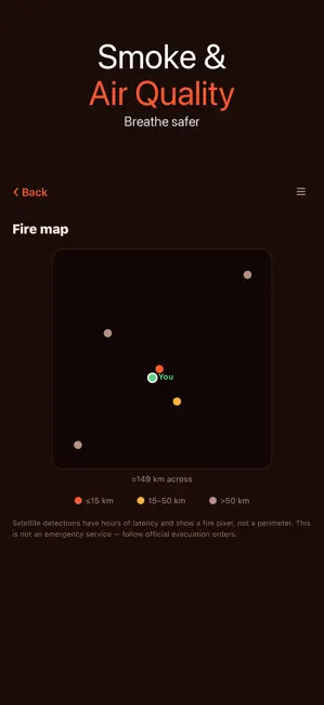
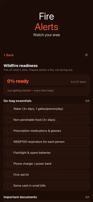
See active fires near you and the smoke around them, powered by NASA FIRMS satellite detections plus live air-quality readings. • Active fires near you, nearest first, with distance, intensity and confidence • Live fire map with distance bands to read the threat at a glance • Smoke now: PM2.5 air quality from the nearest monitor • Alert places: save your home or route and get a push when a new fire is detected nearby • Protection guide: when to wear an N95/P100, ventilate, or clean indoor air • Readiness checklist: go-bag, documents, defensible space, evacuation plan and pets Stay aware all fire season. Shows satellite and sensor data with latency; not an emergency service. Always follow official evacuation orders.
App details
What you can learn from Wildfire & Smoke Map
Every shipping app on the App Store has gone through the same decisions you're working through right now: which screenshot goes first, what caption sits over it, which device frame to show, what color the background should be. The 3 screenshots above are Wildfire & Smoke Map's answers to those questions — they're public, they're real, and they made it through Apple's review.
Notice the first screenshot in particular. It's the one users see in search results and on the product page, and it's where most apps spend their best caption and tightest design. Look at the proportion of background to phone, where the text sits, what one thing the image is trying to communicate.
Want to see how other Weather apps approach the same problem? Browse more Weather apps in the showcase.
Take what works into your own screenshots
Open LaunchShots and design your App Store & Google Play screenshots — pick a device frame, drop captions, ship in minutes. Free, in your browser.
Open the screenshot editor →